Vida de Ecosistemas Terrestres
A geological record spanning approximately 66 million years of Earth's history on the ESPOL campus
ESPOL is conducting a research project on the Cretaceous–Paleogene boundary in the La Prosperina Protected Forest, focusing on its geopatrimonial assessment and the development of strategies for geotourism, geoconservation, and geoeducation. The initiative aims to strengthen scientific knowledge and promote awareness of geological heritage.
ESPOL Water: Exploring the Subsoil to Build Sustainability
The Agua ESPOL project transforms the Gustavo Galindo campus into a living laboratory for the study of groundwater resources. Using engineering, geophysical, and hydrogeological tools, the team conducts non-invasive research to identify water potential, generate technical data, and strengthen the sustainable management of this resource. The initiative also integrates Water Harvesting and Storage (SyCA) techniques, consolidating a vision that connects science, the local environment, and evidence-based decision-making.
ESPOL promotes sustainable water management through its Ecohydrology Demonstration Site Project
The Escuela Superior Politécnica del Litoral (ESPOL) is advancing its commitment to sustainability and integrated water resource management through the project “ESPOL Ecohydrology Demonstration Site: Lakes and Albarradas,” an initiative aimed at obtaining official recognition as an Ecohydrology Demonstration Site from UNESCO.
ESPOL strengthens actions that promote the sustainable use of natural resources in the Amazon
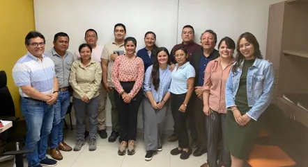
From January 28 to 31, 2026, researchers from the Center for Research and Applied Projects in Earth Sciences and professors from The Faculty of Earth Sciences Engineering at the Escuela Superior Politécnica del Litoral held a training session in Francisco de Orellana as part of a project aimed at strengthening local capacities to address the impacts of illegal mining.
FICT held an academic talk on GIS and remote sensing applied to the Ecuadorian Amazon
ESPOL’s FICT held the academic talk ‘Exploring the Amazon from Space: GIS and Remote Sensing in University Education,’ aimed at strengthening academic training through the use of geospatial tools. During the event, a scientific article analyzing the expansion of illegal mining in Zamora Chinchipe was presented, highlighting the use of GIS and remote sensing—developed by the faculty of ingenieria en...—to understand territorial dynamics, support decision-making, and prevent environmental and social impacts in the Ecuadorian Amazon.
Pagination
- Previous page
- Page 2
- Next page