Applied research and territory monitoring activities were conducted during a field mission in the Paute sector, Azuay province, from January 14 to 17, 2026. This mission was part of the "Ground Deformation Study using DInSAR in the CELEC SUR Influence Zone" project, led by M.Sc. Kenny Escobar Segovia.
This initiative aims to strengthen ground behavior analysis through advanced remote sensing techniques applied to strategically significant areas.
Field Mission Objective
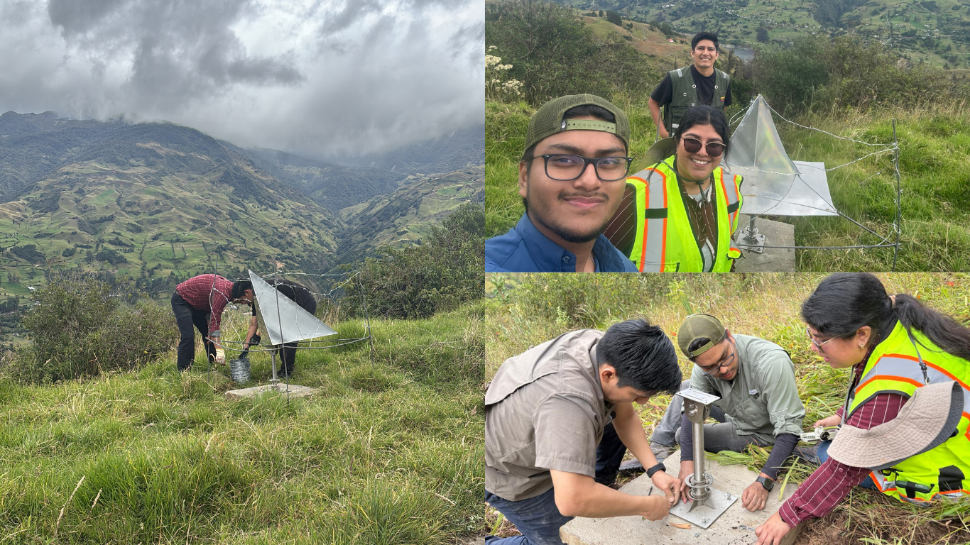
The primary goal of the mission was the installation of Corner Reflectors within the influence area of the Paute Integral Hydroelectric Complex. These devices are used to calibrate the SAR signal from the Sentinel-1 satellite and enhance the quality of interferometric products.
Field Activities
During the mission, the reflectors were correctly installed and positioned, which will increase coherence between interferograms and improve sensitivity in detecting surface deformations using InSAR techniques. These actions are key to obtaining more precise and reliable results in ground stability analysis, contributing to the proper management of strategic infrastructure and risk assessment for neighboring communities.
Participating Team
The field mission involved a multidisciplinary team composed of:
Diego Capa Sarango, M.Sc.
Pedro Ramírez, estudiante
Intervened Sectors
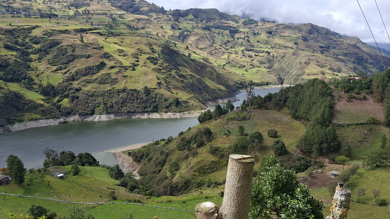
The field activities were carried out in the sectors of Palmas, Llamacón, Tomebamba, Guarinac, Osoyacu, and Las Juntas, which are key areas within the project's zone of influence.
Contribution to Sustainable Development Goals (SDGs)
Reaffirming the institutional commitment to sustainability, technological innovation, and responsible land management, this initiative aligns with the following Sustainable Development Goals:
SDG 6: Clean Water and Sanitation
SDG 7: Affordable and Clean Energy
SDG 9: Industry, Innovation, and Infrastructure
SDG 11: Sustainable Cities and Communities
SDG 13: Climate Action


