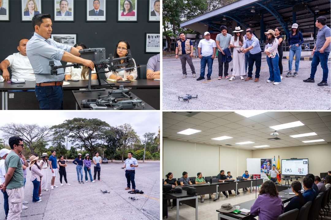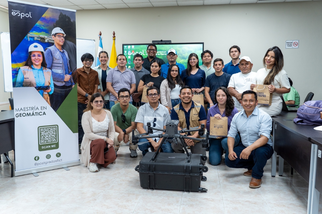


On Saturday, August 29, and Sunday, August 30, 2026, students from the second cohort of ESPOL’s Master’s in Geomatics program participated in in-person field sessions for the course “Photogrammetry Applied to Geosciences.”
Under the academic direction and guidance of professors David Altamirano Morán, M.Sc., and Luis Medina Cajamarca, M.Sc., the students carried out flight missions in various areas of the polytechnic campus. During this process, they worked on strategic planning, equipment calibration, and the analysis of the technical and operational guidelines required before deploying unmanned aerial vehicles (drones).
On this day, a specialized flight was conducted to capture data using LiDAR (Light Detection and Ranging) technology, which allowed the master’s students to experience high-precision data acquisition processes and understand the importance of proper spatial planning for surveying terrain information.
The three-dimensional data and images collected will serve as the fundamental input for the subsequent academic phases, during which students will continue processing and analyzing the data using specialized tools. This knowledge is geared toward the creation of advanced photogrammetric products and accurate representations of the territory, training professionals capable of diagnosing, planning for, and preventing the impacts of poor spatial management.
Through this synergy between theoretical foundations, technological innovation, and hands-on field experience, ESPOL’s Master’s in Geomatics program reaffirms its commitment to educational excellence.